KevinG I am still having hard time reproducing error you are experiencing. I have downloaded the photos, they have grouped correctly, and their locations on the map look OK to me.
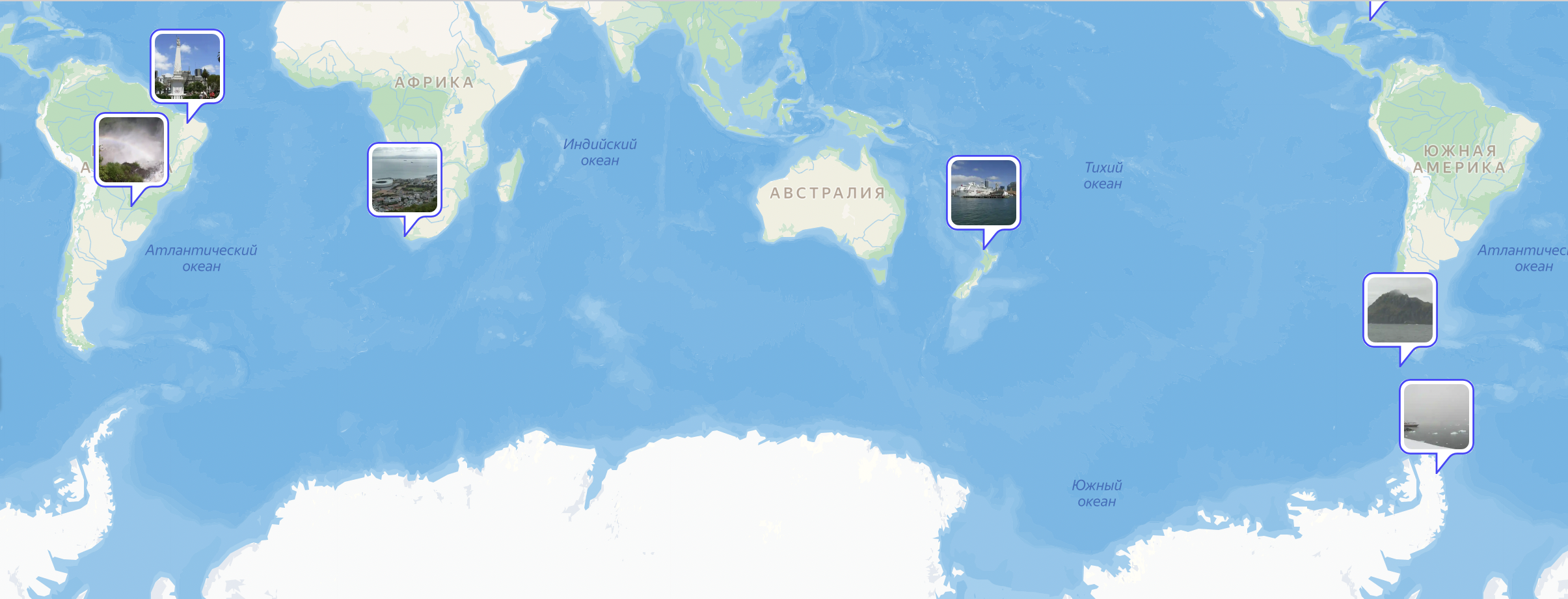
The only odd thing I can see with samples you provided is this:
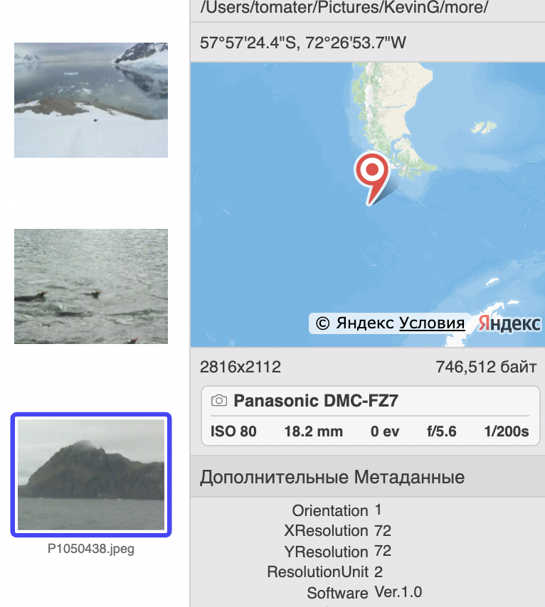
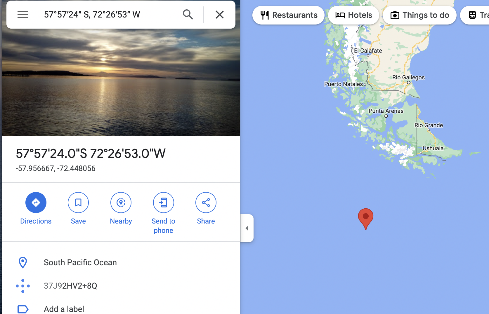
This picture is indicated as being in the ocean while picture itself obviously shows some land. However, I double checked same coordinates with Google Maps, and it also agrees that this is indeed ocean, not a land. Most likely, there is a mistake in the coordinates in the image itself, but not in the way it is being displayed.
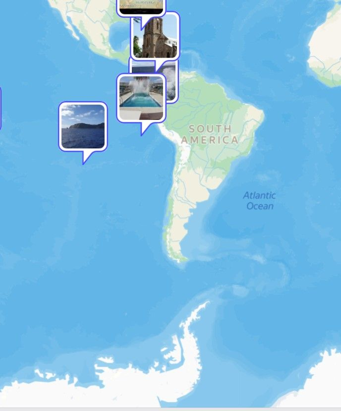
While it is clear that you are seieng this image in completely different part of the ocean (this is from dropbox):
To nail down the cause of the issue, we need to isolate all differences between what you are seeing and I see. I propose to focus for a while on that particular image that jumps over different places of the ocean and find why this is happening. Probably that will give us idea what is wrong with other images too. Please do following steps.
- Go to the map and reproduce the view like the one on the last screenshot. It is important to make sure this image is on the wrong location, like here. If for some reason it will be in correct location, all further steps are useless.
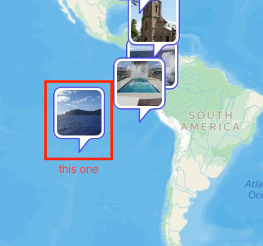
- Doubleclick on that image with a hill in the ocean.
- This will bring you to events view with one or more events selected. If there will be several events selected, you will see red stripe like on the image below (“Filtered by location” on top). If there will be only one image, there will be no red stripe like that.
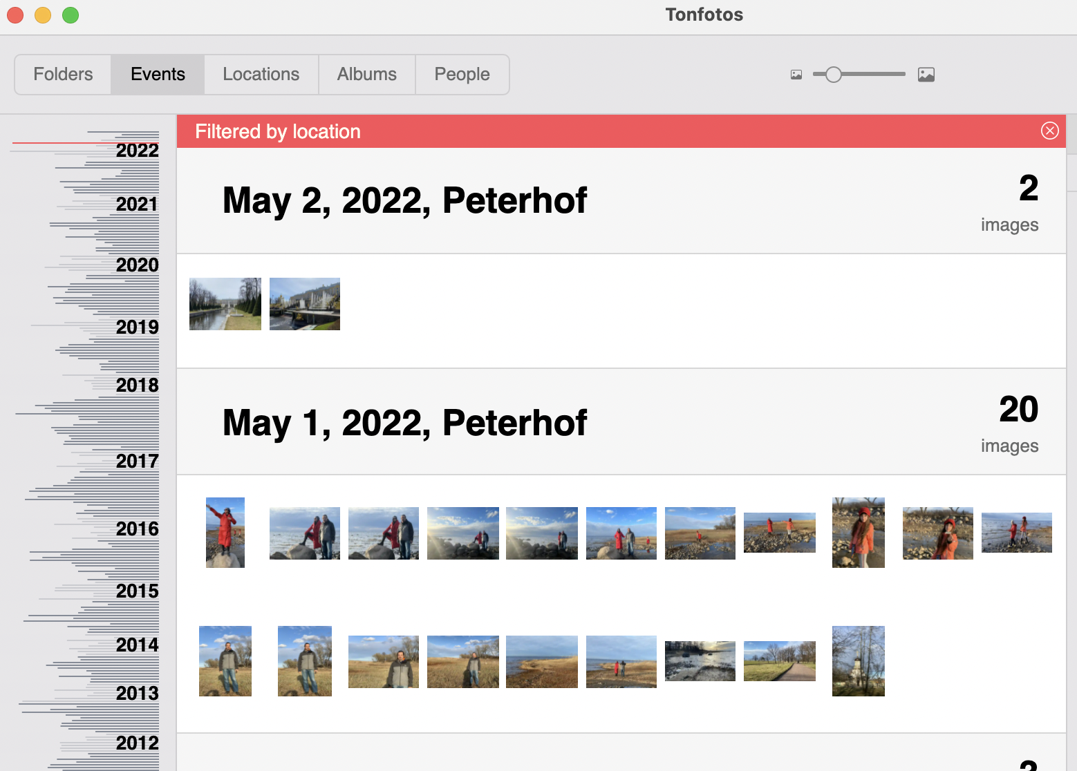
- Then please write back to me what do you see. If there is no red stripe, what is the name of the event then?
- If there are other events, then please share on dropbox files from those events too.
I hope this will help us figure out what is going wrong.