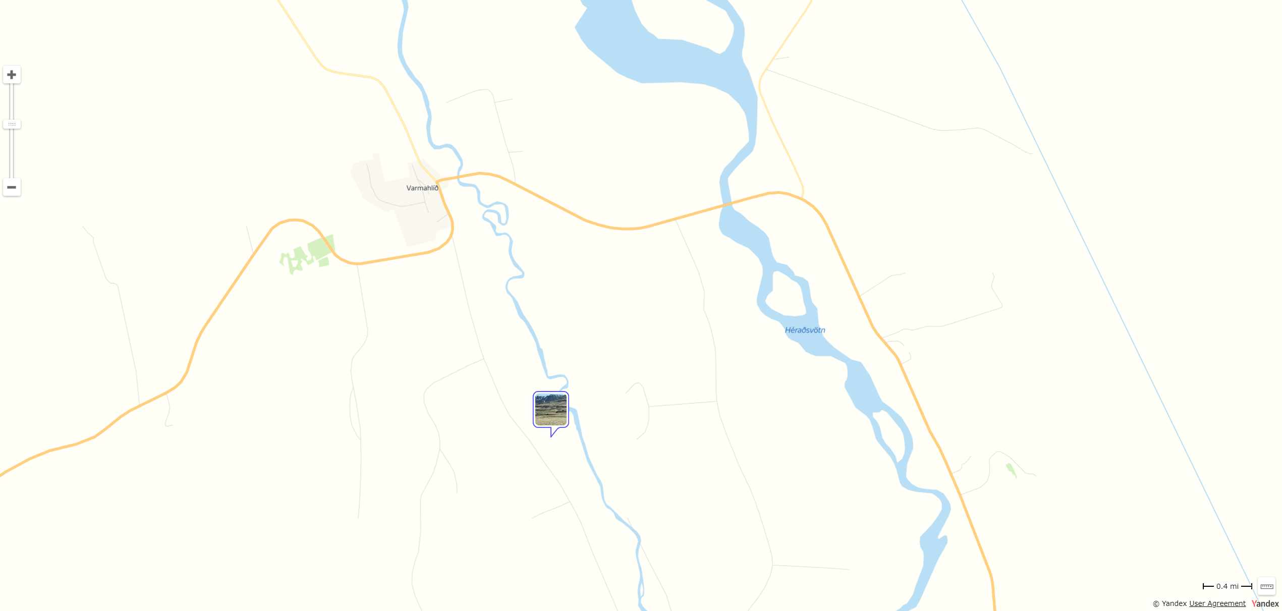
Is it possible to add satellite imagery in addition to the standard Yandex map in the Map Module? For some remote places and countries I’ve been to, there’s not much landmark on a standard map when you zoom into the area where the photos were taken.
See attached example.
